Articles

New Canadian Well Identifier System
Floy Baird and Sue Carr
It’s 1965, and a new standard is being rolled out in the Canadian petroleum industry. Designed by industry, for industry and adopted as a standard by the Canadian Petroleum Association (CPA), it became known as the CPA UWI (unique well identifier). In 1965, Lester B. Pearson is the Prime Minister…

Google Your Way to Maximimum Geoscientific Value
Marc J. Boulet
Although there is an exponential increase in data collection within oil and gas companies, access to the data for meaningful subsurface interpretation is constrained by the limited toolkits many geoscientists have at their disposal. We propose some methodologies and open-source software tools that can provide more efficient access to structured…
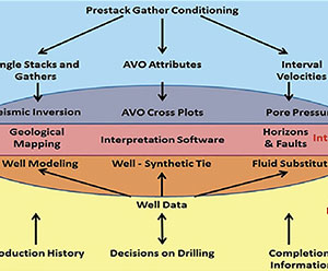
E&P Companies, Different Types of Data, Fairway Mapping and Geomodels
Brian Wm. Schulte
E&P companies are looking at data differently than they did in the past. The reason why they are doing this is because data drives big economical decisions, including the sanctioning of a new play, which is when the Board decides to spend a large amount of money on the development…
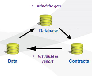
Geophysical Data Compliancy – Utilizing Technology
Sue Carr and Trish Mulder
Geophysical data compliancy means only using data you are entitled to use for an implicitly defined purpose and timeframe. Geophysical / seismic data is complex, as it is an image of a defined position on the earth. That representation is multi-dimensional, multi-faceted and geographically based consisting of raw and interpretation…

The Future of Data and Data Management Trudy Curtis
Trudy Curtis
Attenuation refers to the degradation of signal strength as it decays over time, across distance, or through interference. Working out what causes attenuation takes lots of time and patience. But it’s worth the effort to solve the problem, because doing so strengthens customer trust and loyalty.
...
The Cloud: ASK Before You ACT
Gary Roy
CGG Smart Data Solutions, like many other service providers in the E&P sector, has seen a transformation of data management from a support function to a value generator for our clients. Companies are expecting service providers to deliver solutions to enable their E&P digitalization strategies, as they move towards adopting…

Introduction to March Focus: Atlantic Region
Omid Aghaei
The Canadian East Coast, featuring the interplay between heatflow, stretching, faulting, and synrift sedimentation, is the focus of our March issue. We have received five major contributions: two from academia and three from industry.
...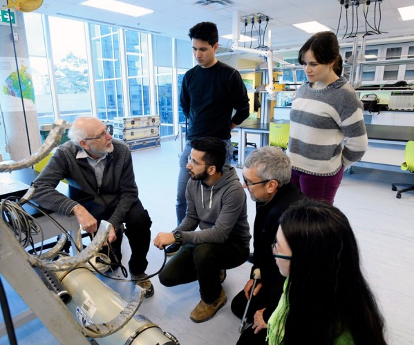
Ocean Bottom Seismometer Instrumentation in Canada
Mladen R. Nedimović
Canada belongs to an elite club of a handful of countries that successfully developed and used autonomous ocean-bottom seismometers (OBSs). Yet, with the decommissioning of the Canadian short period OBS pool in 2015 due to old age and retirement of researchers with OBS knowledge, Canada was on the verge of…
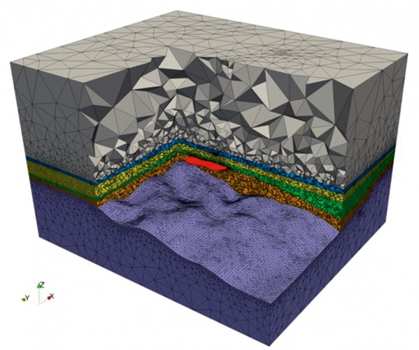
Atlantic Rifted Margin Studies from the Edge: Geophysical Research at Memorial University
J. Kim Welford, Alison E. Malcolm, Colin G. Farquharson, and Jeremy Hall
Located in Canada’s easternmost province of Newfoundland and Labrador, researchers at Memorial University are ideally positioned to undertake geophysical research along the country’s Atlantic margins where offshore exploration is still very much at the frontier stage, spurred on by world-class discoveries and production in the Jeanne d’Arc and surrounding basins.…
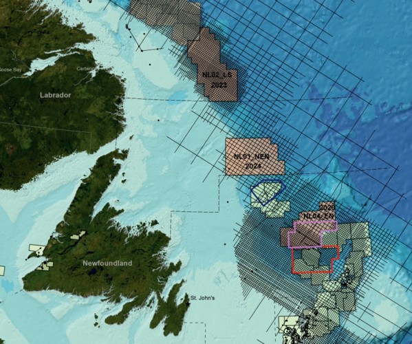
Exploration Initiatives, Offshore Regions, Newfoundland and Labrador, Canada
Deric E.L. Cameron, Erin Gillis, Victoria Mitchell, and Richard Wright
Exploration initiatives over the past decade have led to renewed interest in exploration in the slope and deep-water regions of offshore Newfoundland and Labrador, Canada. New multi-client regional 2D seismic surveys (2011-2018), guided initially by satellite slick mapping, have provided approximately 170,000 line kms of long offset, broadband 2D seismic…
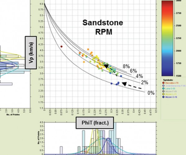
Frontier Exploration: Considerations When Developing a Predictive Rock Physics Framework
Nick Huntbatch, Alsing Selnes, Neil Whitfield
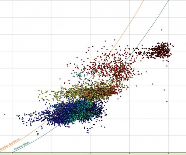
Exploration in frontier basins is challenging; subtle targets, large seismic datasets, sparse well penetrations, and many unknowns. There is an obvious requirement for interpretations to be robust, but also delivered on a commercial timeframe.
...
Building a Geological-Pressure Model Incorporating Global Analogues
Sam Green and Alexander Edwards
To de-risk a frontier area properly requires establishing the geological framework, and this is where seismic data can provide important controls on the basin framework by helping to understand features such as stratigraphic thicknesses, large-scale structural features such as faults and folds, and vertical and lateral velocity variations. To help…
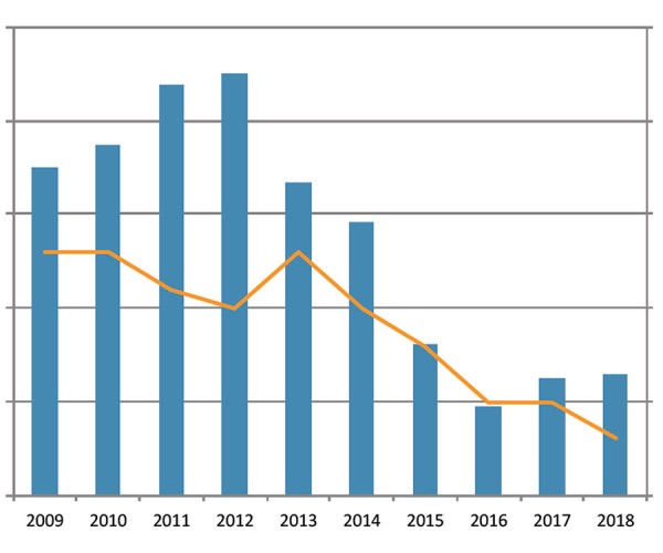
Repositioning Seismic Technologies and Services in a Dynamic Upstream Oil and Gas Industry
CAGC Executive
In September of 2018 the upcoming winter season quickly went from decent to dreadful. With the widening of the Oil Differentials, potential projects were cancelled and the outlook for 2019 began to look like the bottom experienced back in 2016. The CAGC commissioned the following op-ed in order to look…

An Unconventional View of Geoscience
David Gray
hale oil and gas production and “fracking” are with us to stay. We geoscientists need to understand how we can contribute to the “shale revolution.”
...
Introduction to January Focus: Research Across Canada
Katie McLean and Germán Rodríguez-Pradillar
There´s no better way to kick off the year than with fresh ideas to expand our knowledge and improve our skills as exploration geoscientists. To help you out with that, we compiled in this special edition some exciting contributions from various researchers from all across Canada that cover some state-of-the-art…
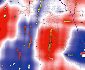
Skeletonization and Empirical-Mode Decomposition of 2-D Potential-field Images
Le Gao and Igor B. Morozov
The volumes of modern gridded data collected by the geophysical exploration industry are often large and can benefit from methods for image decomposition, pattern analysis, and interpretation. Automated pattern-recognition methods can be useful for both seismic and potential-field images. In both of these cases, it is important to extract quantitative…
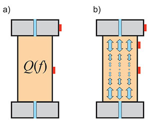
Mechanics of Seismic Q
Igor B. Morozov
Seismic- wave attenuation and dispersion are studied in most geophysical curricular and broadly used in both academic and applied research. Applications of these concepts include identification of gas reservoirs and chimneys from frequencydependent seismic amplitudes, analysis of frequency dependent P- and S-wave velocities, interpretation of the effects of porosity and…
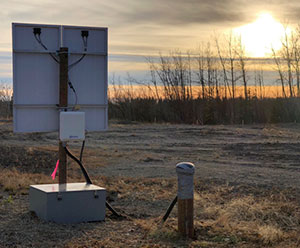
CCArray and EON-ROSE: Emerging Pan-Canadian Multidisciplinary Research Initiatives
David W. Eaton, Katherine Boggs, Thomas S. James, Jason C. Droboth, Pascal Audet
The Canadian Cordillera – the mountainous regions of western Canada – represents a world-class natural laboratory for exploring the interconnected Earth systems that are critical to our understanding of major scientific grand challenges. The Canadian Cordillera Array (CCArray) is a proposed international scientific initiative, spearheaded by the creation of a…
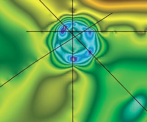
Impact Craters in Seismic Data
Amanda Obodovsky
Since the acquisition of seismic data in the 1960’s, impact structures have been seen in seismic data. These are structures that were created earlier in the Earth’s history from a meteorite impact and have since been buried underground. While many of these unique structures are known to be located in…
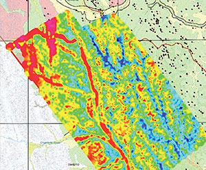
Airborne EM: Peace Project, British Columbia, Canada
Melvyn Best, Anne-Sophie Høyer, Flemming Jørgensen, Antonio Menghini, Carlos Salas, Andrea Viezzoli
Over the last decade, Airborne Electromagnetics (AEM) has become a widespread tool for groundwater applications. Besides the demand of acquiring good quality AEM data, there are two other fundamental steps to obtain a robust geological and hydrogeological model: accurate processing/inversions and advanced interpretation.
...


