Articles

Almost 7000 Miles Apart: Stories of Hope amidst Uncertainties
Althea De Los Santos
Vision holds a different meaning to everyone. For some, it is a new word with an old concept or an old word with a new concept. For me, it is the latter one. Before Standard Oil became the world’s first multinational corporation by the end of 19th century, John Rockefeller…

Fall Preparations
Stephen Kotkas
If you were anything like me you had good intensions for a spring clean-up. You saw your neighbors tidying their property so you did a little… just enough to keep it respectable.
...
What’s the Future for North American Oil and Gas? A Perspective
Brian Wm. Schulte and Jim Felton
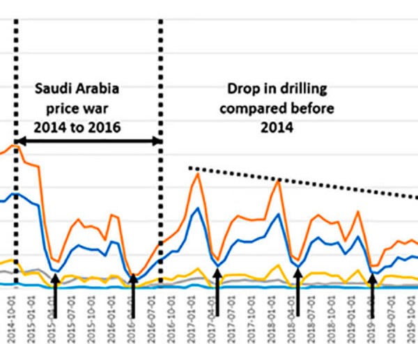
Jaws dropped around the planet in April 2020 when the price of oil went below 0 into negative prices. In effect, producers of the fuel that drives the global economy had to pay others to take oil from producers’ stores. It reflected market forces that had never been seen before.
...
“I remember Don Simpson”
John Boyd
When Don and I first met, we were both in our twenties and had been in the geophysical side of the petroleum industry for a few years. Don, a native Calgarian and a graduate of St Mary’s High School, started his working life in Amoco’s accounting department.
...
Dedication
We would like to thank the over 26,000 RNs employed by Alberta health Services; over 11,000 doctors; and more than 5,600 EMS professionals that are working on the frontlines of this pandemic.
...
Introduction to the April 2020 Focus: Geomodelling and Geosteering
Devik Naidu
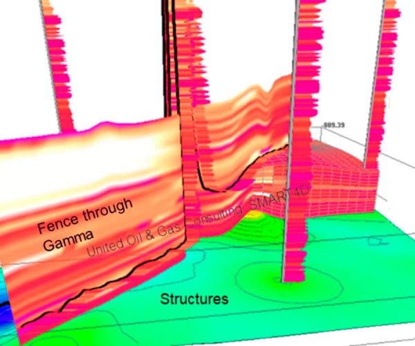
The April edition features compelling articles on geomodelling and geosteering. These articles were selected by the RECORDER Committee based upon the expertise of the authors and we wanted to feature their outstanding work in this edition.
...
Improving Your Forward Vision – How 4D Geosteering Software Improves Well Placements by Proactively Catching Deviations Early and Reducing Drilling Risks
Rocky Mottahedeh
In geosteering, to dynamically and confidently drive forward with confidence in the target with minimum doglegs, we need to have a real-time solution that not only allows us to correlate to the last survey point (how we got here), but which also provides the latest calculated 3D path to where…
Forward Vision for Geosteering and Mitigating Risk by Volumetric Simulation of Well Drainage and Frac Shadows
Rocky Mottahedeh
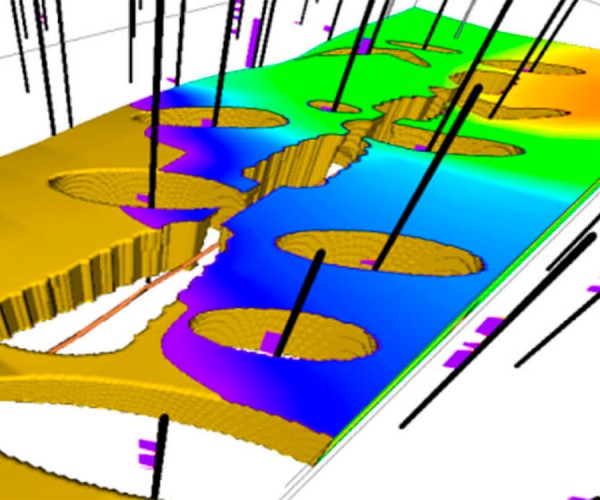
Creating value and planning for success in field development operations is a multi-disciplinary process that needs both a learning and an integrative approach to optimize capital. Technological advantage for producers comes from implementing just-in-time processes continuously with software systems that do the hard work in the background to provide Dynamic…
Geosteering – The Basics for Geophysicists
Curtis James
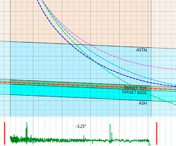
Gone are the days of old, when geosteering relied solely on drill cuttings. Advancements in drilling technologies have pushed laterals longer and deeper, and with faster drilling times. As these technologies advanced, so did the need for more accurate, real-time data from downhole, so the geosteering technologies and data collection…

Oil below $20 USD per barrel – what caused this?
Brian Wm. Schulte
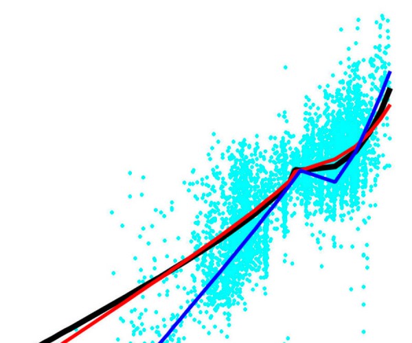
The following is a tutorial on the economics and financing of oil and gas. It looks at the market over the last two years, how several factors have contributed and the role that the following have played into it.
...
Determination of Local Magnitude for Induced Earthquakes in the Western Canada Sedimentary Basin: An Update
Alireza Babaie Mahani and Honn Kao
With the increased seismicity rate in the Western Canada Sedimentary Basin (WCSB), accurate determination of local magnitude (ML) using data from regional seismograph networks is a vital task for induced seismicity monitoring and mitigation of seismic hazard. Specific mitigation strategies have been put in place by the regulators when the…

Introduction to February Focus: Geophysics in Québec
Jean M. Legault and Oliver Kuhn
In the same way that Quebec is rich in mineral and energy resources, it has a rich and long history in exploration geophysics. For most of us that live and work outside of Quebec, there is a level of mystery with much of the work that goes on there, as…
Mining exploration geophysics in Quebec: Over 50 years of innovation
Marc Boivin
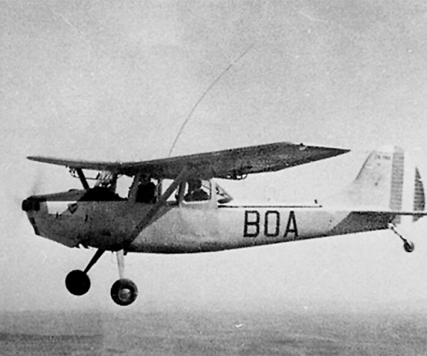
The province of Quebec has a long and successful history in mining exploration discoveries, and exploration geophysics has played a significant role since the beginning. nnovative people and their ideas over all those decades were essential to the contribution of geophysics in Quebec and elsewhere in the world.
...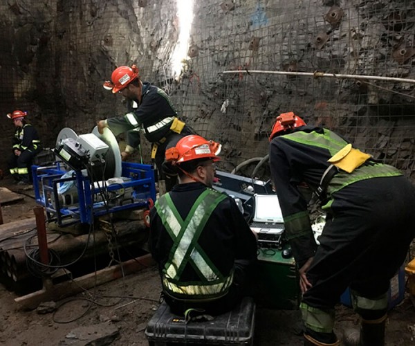
Applied geophysics in a very deep mine context: Example of the >3 km deep, LaRonde Penna mine, Abitibi Greenstone Belt, Quebec
L. Cheng, X. Dai, MC Diallo, C. Liu, N. Foudil-Bey, J. Collins, P. Bérubé, R. Dubuc, D. Fortin, M. Legault, P. Mercier-Langevin, B. Abbassi
...
Exploring for Magmatic Ni-Cu-PGE Ore Bodies with Magnetics, Electromagnetics and Reflection Seismic in a Challenging Geological Setting in Nunavik, QC
Circé Malo-Lalande, Maxim Boisvert, Erick Adam and Christopher Grondin
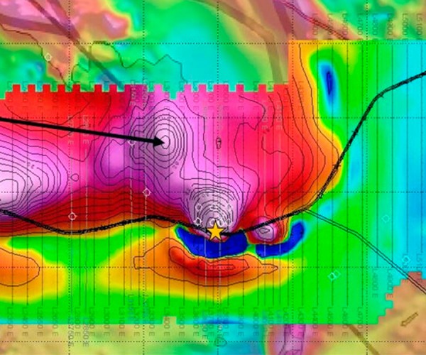
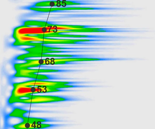
Hunting for Ni-Cu-PGE ore bodies is no easy task, especially in the harsh conditions at the Nunavik Nickel Project in Nunavik, northern Quebec. As the near-surface deposits are found, better tools and sound geological understanding are needed to find deeper deposits.
...
A processing strategy for high-resolution seismic imaging of thin unconventional reservoirs: application to the Macasty Formation, Anticosti Island, Canada
Mathieu J. Duchesne, Zhuoheng Chen, Denis Lavoie, Nicolas Pinet and Virginia I. Brake
...
Science and Scientists, Fiction Writing and Star Trek
Lee Hunt
Writing an engaging novel is challenging. Being a good scientist is also difficult because good science requires almost inhuman discipline and humility.
...
Introduction to October/December Focus: Geophysics in British Columbia and the North
Steve Jensen and Elizabeth Atkinson
...
Seismic and Surface Deformation: Insights from Qualitative Comparisons over a SAGD Reservoir in Alberta
Dennis Ellison
Interferometric Synthetic Aperture Radar (InSAR) is becoming a more desirable method to monitor surface deformation, in particular, ground heave in the oilsands related to thermal SAGD operations. Devon had licensed data from TRE-Altamira using the RADARSAT-2 satellite, which collects roughly 9 usable images each year to calculate deformation. Surface deformation…

Automating seismic data analysis and interpretation
Sergey Fomel
...


