Articles
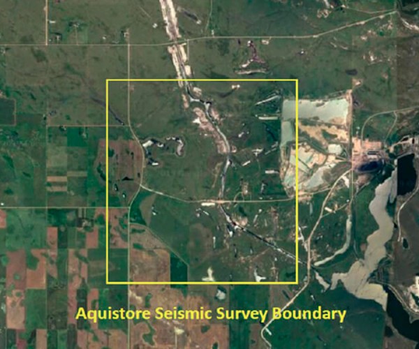
Application of Full Zoeppritz AVO Inversion for Delineating Porous Sand Geobodies Over Aquistore Seismic Survey
Homayoun Gerami
We used 3D seismic data from the Aquistore deep saline CO2 storage project survey, southwest of Estevan, Saskatchewan, Canada, using seismic amplitude variation with offset (AVO) inversion and lithology prediction workflows to delineate the porous sand units across the survey.
...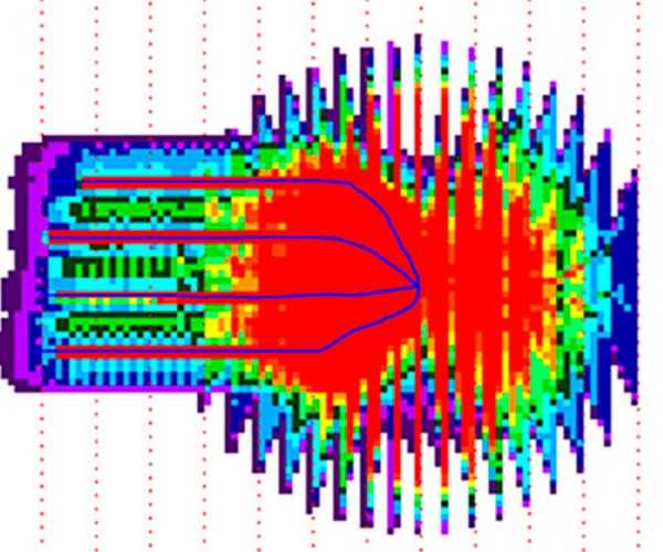
What is the value of a VSP and why it should be modeled?
Jason Schweigert and Brian Wm. Schulte
In today’s era of tight commodity prices, there is a push to minimize the breakeven price (BEP) for resource plays and maximize their production. To lower BEP, exploration and production (E&P) companies have been drilling multiple horizontal wells off a single pad therefore reducing the environmental impact and minimizing the…

Introduction to June Focus: Central Canada
Oliver Kuhn and Jean Legault
Mining and near surface applications dominate the exploration geophysics sector in Central Canada. In our search for articles, rather than just focusing in those two areas, we also looked for other geophysical applications that would provide readers a broader and more interesting range of topics. Therefore in addition to a…
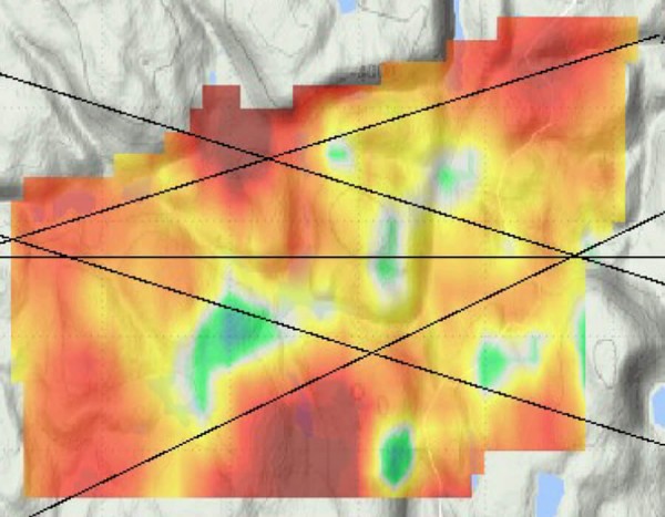
Ambient noise surface wave tomography at the Marathon PGM-Cu deposit, Ontario, Canada
Dan Hollis, John Mcbride, Sophie Beaupretre, Aurélien Mordret, Florent Brenguier, Nicholas Arndt, Dave Good
In this paper we report the results of tests of the ambient-noise surface wave seismic tomography method at Stillwater Canada Inc.’s Platinum Group Element-Copper (PGE-Cu) deposit at Marathon in Ontario. This survey demonstrated the potential of the technique to help determine the geological setting of the deposit and, in addition,…
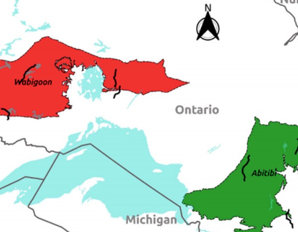
The Metal Earth project: Crustal scale reflection seismic study of the Archean Superior Province of Canada
Mostafa Naghizadeh
Metal Earth is an applied research and development program led by Laurentian University with $104 million funding from the Canada First Research Excellence Fund and federal/provincial/industry partners. Metal Earth aims to profoundly enhance our knowledge about the origin and evolution of base and precious metal deposits during Earth’s history. By…
The Industrial Wind Turbine Seismic Source
Michael West
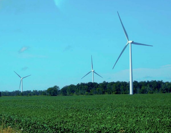
Despite their generally positive reputation as sources of clean, safe energy, Industrial Wind Turbines (IWTs) do have their critics. For years, residents living in the vicinity of IWT clusters have reported a variety of physical ailments which they attribute to the sounds and vibrations emanating from wind turbines (Kelley, 1985;…
Pre-competitive geophysics in Ontario – attracting investment with data
Desmond R.B. Rainsford
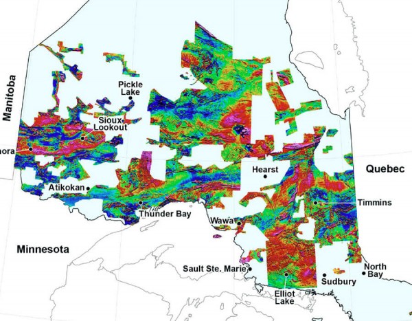
The Ontario Geological Survey (OGS), in collaboration with the Geological Survey of Canada, was one of the first jurisdictions to collect and distribute pre-competitive, regional-scale, geophysical data. Following the completion of province-wide coverage with low-resolution geophysical surveys, the Ontario Geological Survey is accumulating detailed data over much of the province.…
Geophysical Exploration Beneath the Phanerozoic Cover of the Flin Flon – Snow Lake VMS Belt
Bob Lo
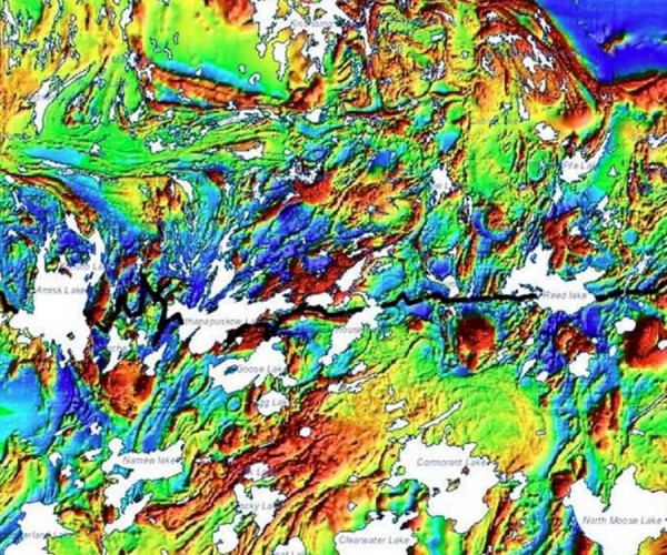
The exploration history of the discovery of two deposits beneath the Phanerozoic cover of the Flin Flon – Snow Lake volcanogenic massive sulphide (VMS) Belt in Manitoba and Saskatchewan is presented. Due to a lack of outcrops of the host rocks, geophysical exploration techniques were key to the discoveries. Both…
Comparisons of Geophysical and Medical Imaging
Larry Lines and Joan Embleton
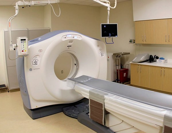
Geophysical and medical imaging are of great importance to society. In the case of geophysical imaging, we record waves passing through the Earth to image the Earth’s interior in search of anomalies to help in the exploration for petroleum and minerals. In the case of medical imaging, we image the…

Introduction to April Focus: Data & Data Management
Brian Schulte
Welcome to the printed GeoConvention edition of the RECORDER. The focus is “Data and Data Management”. It is amazing how many articles were gathered by Special Coordinator Trudy Curtis and Technical Editor Kristy Manchul. Trudy and Kristy began gathering material for this back in October. As with all our editions,…

New Canadian Well Identifier System
Floy Baird and Sue Carr
It’s 1965, and a new standard is being rolled out in the Canadian petroleum industry. Designed by industry, for industry and adopted as a standard by the Canadian Petroleum Association (CPA), it became known as the CPA UWI (unique well identifier). In 1965, Lester B. Pearson is the Prime Minister…

Google Your Way to Maximimum Geoscientific Value
Marc J. Boulet
Although there is an exponential increase in data collection within oil and gas companies, access to the data for meaningful subsurface interpretation is constrained by the limited toolkits many geoscientists have at their disposal. We propose some methodologies and open-source software tools that can provide more efficient access to structured…
E&P Companies, Different Types of Data, Fairway Mapping and Geomodels
Brian Wm. Schulte
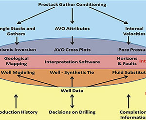
E&P companies are looking at data differently than they did in the past. The reason why they are doing this is because data drives big economical decisions, including the sanctioning of a new play, which is when the Board decides to spend a large amount of money on the development…
Geophysical Data Compliancy – Utilizing Technology
Sue Carr and Trish Mulder
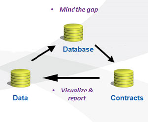
Geophysical data compliancy means only using data you are entitled to use for an implicitly defined purpose and timeframe. Geophysical / seismic data is complex, as it is an image of a defined position on the earth. That representation is multi-dimensional, multi-faceted and geographically based consisting of raw and interpretation…

The Future of Data and Data Management Trudy Curtis
Trudy Curtis
Attenuation refers to the degradation of signal strength as it decays over time, across distance, or through interference. Working out what causes attenuation takes lots of time and patience. But it’s worth the effort to solve the problem, because doing so strengthens customer trust and loyalty.
...
The Cloud: ASK Before You ACT
Gary Roy
CGG Smart Data Solutions, like many other service providers in the E&P sector, has seen a transformation of data management from a support function to a value generator for our clients. Companies are expecting service providers to deliver solutions to enable their E&P digitalization strategies, as they move towards adopting…

Introduction to March Focus: Atlantic Region
Omid Aghaei
The Canadian East Coast, featuring the interplay between heatflow, stretching, faulting, and synrift sedimentation, is the focus of our March issue. We have received five major contributions: two from academia and three from industry.
...
Ocean Bottom Seismometer Instrumentation in Canada
Mladen R. Nedimović
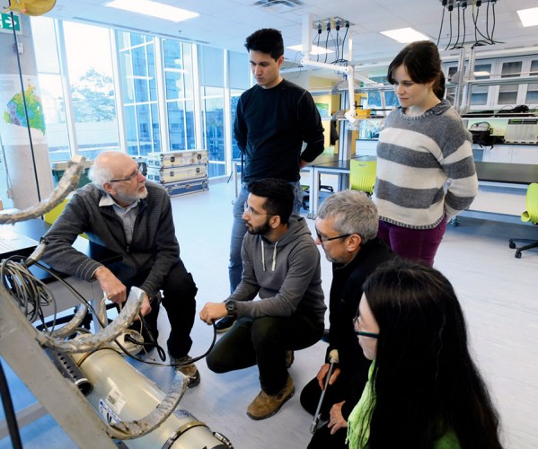
Canada belongs to an elite club of a handful of countries that successfully developed and used autonomous ocean-bottom seismometers (OBSs). Yet, with the decommissioning of the Canadian short period OBS pool in 2015 due to old age and retirement of researchers with OBS knowledge, Canada was on the verge of…
Atlantic Rifted Margin Studies from the Edge: Geophysical Research at Memorial University
J. Kim Welford, Alison E. Malcolm, Colin G. Farquharson, and Jeremy Hall
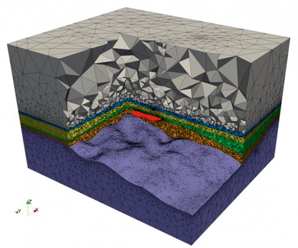
Located in Canada’s easternmost province of Newfoundland and Labrador, researchers at Memorial University are ideally positioned to undertake geophysical research along the country’s Atlantic margins where offshore exploration is still very much at the frontier stage, spurred on by world-class discoveries and production in the Jeanne d’Arc and surrounding basins.…
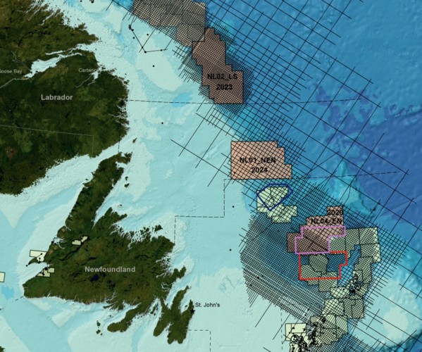
Exploration Initiatives, Offshore Regions, Newfoundland and Labrador, Canada
Deric E.L. Cameron, Erin Gillis, Victoria Mitchell, and Richard Wright
Exploration initiatives over the past decade have led to renewed interest in exploration in the slope and deep-water regions of offshore Newfoundland and Labrador, Canada. New multi-client regional 2D seismic surveys (2011-2018), guided initially by satellite slick mapping, have provided approximately 170,000 line kms of long offset, broadband 2D seismic…


