Articles
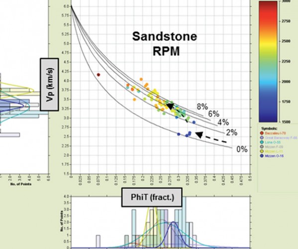
Frontier Exploration: Considerations When Developing a Predictive Rock Physics Framework
Nick Huntbatch, Alsing Selnes, Neil Whitfield
Exploration in frontier basins is challenging; subtle targets, large seismic datasets, sparse well penetrations, and many unknowns. There is an obvious requirement for interpretations to be robust, but also delivered on a commercial timeframe.
...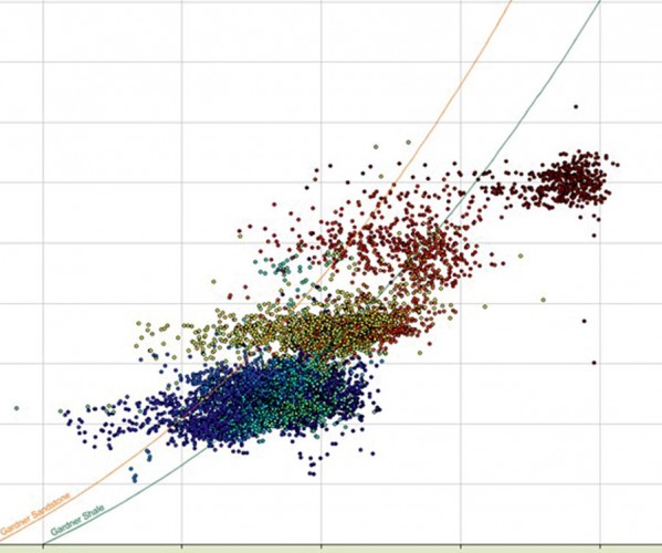
Building a Geological-Pressure Model Incorporating Global Analogues
Sam Green and Alexander Edwards
To de-risk a frontier area properly requires establishing the geological framework, and this is where seismic data can provide important controls on the basin framework by helping to understand features such as stratigraphic thicknesses, large-scale structural features such as faults and folds, and vertical and lateral velocity variations. To help…
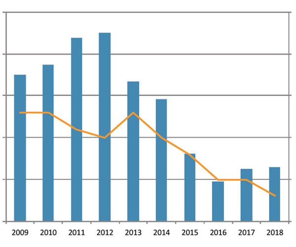
Repositioning Seismic Technologies and Services in a Dynamic Upstream Oil and Gas Industry
CAGC Executive
In September of 2018 the upcoming winter season quickly went from decent to dreadful. With the widening of the Oil Differentials, potential projects were cancelled and the outlook for 2019 began to look like the bottom experienced back in 2016. The CAGC commissioned the following op-ed in order to look…

An Unconventional View of Geoscience
David Gray
hale oil and gas production and “fracking” are with us to stay. We geoscientists need to understand how we can contribute to the “shale revolution.”
...
Introduction to January Focus: Research Across Canada
Katie McLean and Germán Rodríguez-Pradillar
There´s no better way to kick off the year than with fresh ideas to expand our knowledge and improve our skills as exploration geoscientists. To help you out with that, we compiled in this special edition some exciting contributions from various researchers from all across Canada that cover some state-of-the-art…
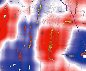
Skeletonization and Empirical-Mode Decomposition of 2-D Potential-field Images
Le Gao and Igor B. Morozov
The volumes of modern gridded data collected by the geophysical exploration industry are often large and can benefit from methods for image decomposition, pattern analysis, and interpretation. Automated pattern-recognition methods can be useful for both seismic and potential-field images. In both of these cases, it is important to extract quantitative…
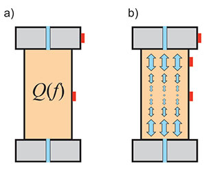
Mechanics of Seismic Q
Igor B. Morozov
Seismic- wave attenuation and dispersion are studied in most geophysical curricular and broadly used in both academic and applied research. Applications of these concepts include identification of gas reservoirs and chimneys from frequencydependent seismic amplitudes, analysis of frequency dependent P- and S-wave velocities, interpretation of the effects of porosity and…
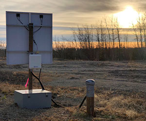
CCArray and EON-ROSE: Emerging Pan-Canadian Multidisciplinary Research Initiatives
David W. Eaton, Katherine Boggs, Thomas S. James, Jason C. Droboth, Pascal Audet
The Canadian Cordillera – the mountainous regions of western Canada – represents a world-class natural laboratory for exploring the interconnected Earth systems that are critical to our understanding of major scientific grand challenges. The Canadian Cordillera Array (CCArray) is a proposed international scientific initiative, spearheaded by the creation of a…
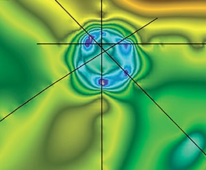
Impact Craters in Seismic Data
Amanda Obodovsky
Since the acquisition of seismic data in the 1960’s, impact structures have been seen in seismic data. These are structures that were created earlier in the Earth’s history from a meteorite impact and have since been buried underground. While many of these unique structures are known to be located in…
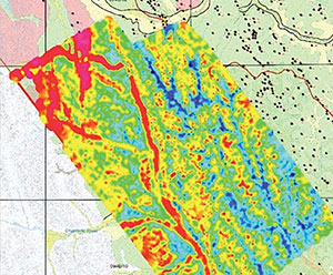
Airborne EM: Peace Project, British Columbia, Canada
Melvyn Best, Anne-Sophie Høyer, Flemming Jørgensen, Antonio Menghini, Carlos Salas, Andrea Viezzoli
Over the last decade, Airborne Electromagnetics (AEM) has become a widespread tool for groundwater applications. Besides the demand of acquiring good quality AEM data, there are two other fundamental steps to obtain a robust geological and hydrogeological model: accurate processing/inversions and advanced interpretation.
...
Introduction to December Focus: The Banff 2018 International Induced Seismicity Workshop
Paige Mamer
The Banff 2018 International Induced Seismicity Workshop took place October 24-27, 2018 and was hosted jointly by the Canadian Induced Seismicity Collaboration and the Canadian Society for Unconventional Resources. It featured an international and diverse audience consisting of members of government and academia as well as attendees from the oil…
Real-time Induced Seismicity Forecasting and Risk Management Utilizing Research-grade Seismic Catalogs
Sepideh Karimi and Dario Baturan
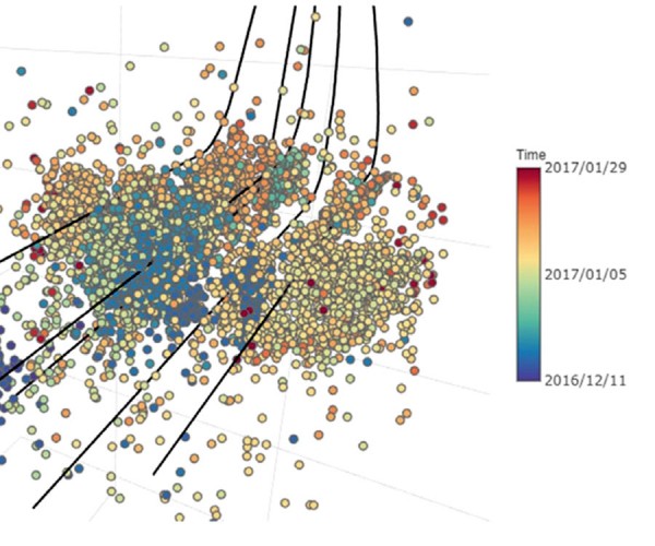
Practical management of induced seismicity risk and effective mitigation approaches are crucial to oil and gas operations. Effective risk management procedures benefit from an accurate forecast of the largest potential magnitude event in near real-time, allowing the adjustment of operational parameters to reduce the probability of a felt or damaging…
Managing Induced Seismicity in Canbriam’s Altares Field in the Montney Formation, N.E. British Columbia – An Update
John Nieto, Brad Bialowas, Bogdan Batlai, and Graham Janega
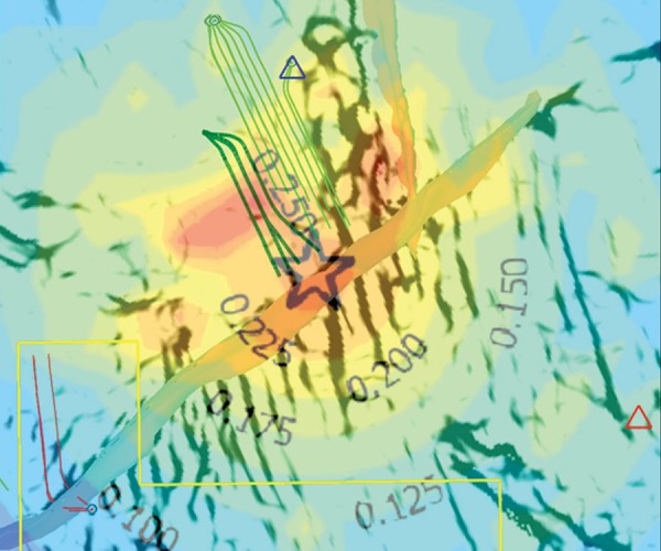
The Montney formation in British Columbia and Alberta has gained prominence in recent years due to the exploration and production boom which has yielded more than 3.5 bcf/d in production output and in excess of 440 TCF of reserves. It is one of the largest unconventional plays in North America,…

Roy Oliver Lindseth
To many of us, Roy Lindseth was our geophysical father. He was a scientific visionary, entrepreneur, respected advisor, and kind mentor to many geophysicists, both young and experienced. He encouraged us to do great things while taking care of small details. Roy worked tirelessly for the science, application, and people…
Analyzing a Seismic Pitfall – Pliocene Superdeep High Amplitude Anomaly, Offshore, Bay of Bengal, India
Niranjan C. Nanda
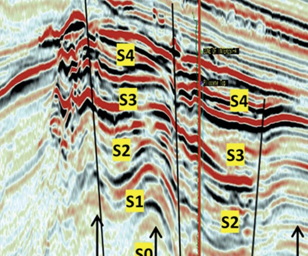
A wildcat was drilled on a Pliocene superdeep seismic high amplitude anomaly in 1050 m of water to explore the hydrocarbon potential in the bathyal zone of Bay of Bengal. The well penetrated a thick monotonous section of 1400 m of siliciclastic mudrocks without encountering the prognosticated hydrocarbon sands, resulting…
Applied Geoscience in Academia – Quo Vadis?
Larry Lines
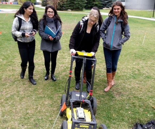
The following article is based on a talk that I gave to a group of geoscientists at the 2017 Geoconvention in Calgary, Alberta. It included a series of observations that I have made regarding the state of applied geoscience at Canadian universities. While the talk was apparently not controversial nor…
Introduction to October Focus: Hydrogeophysics: The Past, Present & Future
Jon Fennell
The ability to detect and image things that are hidden from our sight has always been a fascination of humans. This applies to geoscience as much as any other field. With the ability to sense objects and materials beneath the earth’s surface, the discipline of exploration geophysics has been instrumental…
Emergency Response Groundwater Exploration at Rohingya Refugee Camps in Bangladesh
Alastair McClymont, Paul Bauman, Colin Miazga, Eric Johnson, and Chris Slater
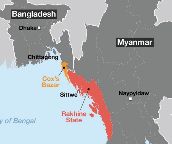
As geoscientists and engineers, and like most other professionals, we take pride in using our education and experience for the betterment of society. In developed countries, the value of such work on water supply projects may not be so obvious, where we take for granted that our communities will always…
A Cost Effective Approach to Regional and Site-specific Aquifer Exploration Using Combined Airborne and Ground Electromagnetics
Jane Dawson, Robert Perrin and Jim Henderson
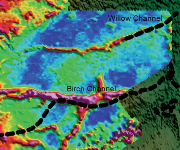
Shallow groundwater is often hosted in Quaternary sediments that are very complex in nature and challenging to map. Traditional mapping and exploration methods to delineate these features are often time consuming, costly, and provide uncertain results. Airborne electromagnetic (EM) techniques have proven effective in delineating these aquifers over extensive geographic…
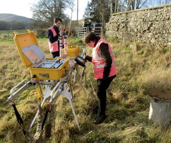
Extending the Reach of Radio Waves for Subsurface Water Detection
Gordon D.C. Stove
Shallow and deep groundwater can be a major environmental obstacle for any geophysical surveying technique, especially radio waves. Ground penetrating radar (GPR) is a mature technology with applications in many areas; see Daniels (2004) for an overview. Almost all applications are restricted to imaging the subsurface to a rather shallow…


