Articles
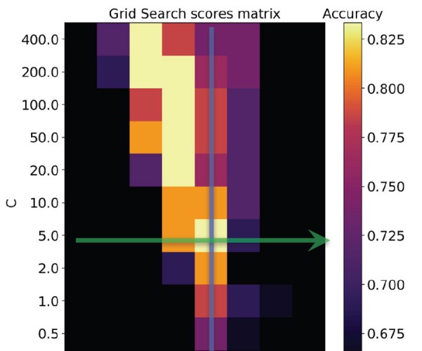
Machine Learning in Geoscience V: Introduction to Classification with SVMs
Matteo Niccoli
In this machine learning tutorial, I intend to provide readers with an intuitive understanding of how Support Vector Machines (SVMs) work and how they are used to solve classification problems. I will utilize Scikit-learn [2], a Python library, and a few toy datasets inspired by classic examples with an added…
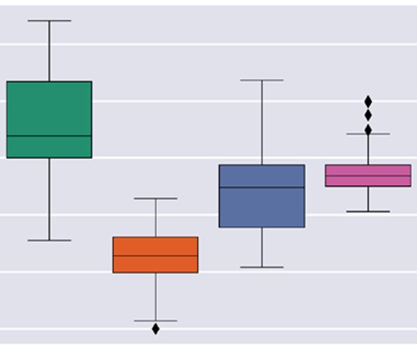
Geochemical Facies Analysis Using Unsupervised Machine Learning
Brendon Hall
This tutorial will demonstrate step-by-step how to build a practical geoscience machine learning workflow using Python and scikit-learn. The practice of extracting insights from large datasets has certainly caught mainstream attention in recent years. Software packages are emerging with multivariate statistics and machine learning algorithms built in to workflows. As…
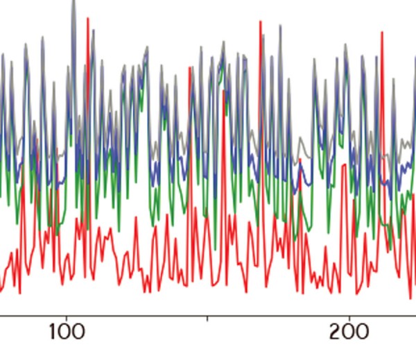
Denoising Seismic Records with Image Translation Networks
Graham Ganssle
Denoising data is the essence of discovery. Raw seismic data are a jumbled collection of bits bearing little resemblance to geology. All of the steps in the seismic data processing workflow, including deconvolution, migration, and stacking are noise reduction techniques designed by geophysicists to highlight a certain type of signal…
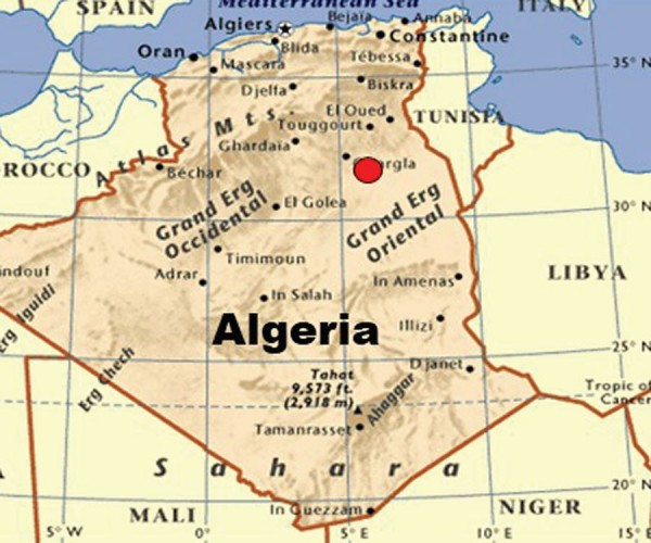
Properties of Propagating Wavelets with Severe Short-Period Internal Multiples
Fred Hilterman and Leila NAILI DOUAOUDA
Seismic waves propagating through cyclical thin beds, which have a large acoustic impedance (AI) contrast to the surrounding sedimentary sequence, have distinct wavelet signatures. At depth, the wavelets have a low-frequency Gaussian-shaped signal followed by high-frequency noise coda. These complex wavelets often yield seismic with discontinuous primary reflections that have…

Forecasting bitumen state and production from 3C-4D seismic
David Gray and Dragana Todorovic-Marinic
Assessing the liquid state of bitumen and its production is now possible from 4D seismic. From conventional 4D seismic data, steam chamber volume can be determined. From 3C-4D (3-component, 4-dimensional) PS (P-wave down, converted S-wave up) seismic data, the liquid state of the bitumen, immediately produceable bitumen, and future produceable…

Introduction to December Focus: Developments in Groundwater Geophysics
Melvyn Best
Issues related to groundwater continue to grow in importance throughout the world, and geoscience techniques to deal with these issues are developing rapidly. Methods are needed to map the extent and quality of groundwater resources, water depletion and pollution, and subsurface flow related to engineering projects such as dams. Increasingly,…
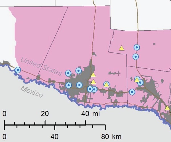
Interpreted Water Quality Calculated from Borehole Resistivity Measurements in the Gulf Coast Aquifer, Lower Rio Grande Valley, Texas, U.S.A.
John Meyer and Andrea Croskrey
Texas has significant brackish groundwater resources estimated at over 2.7 billion acre-feet within 26 of the 30 designated major and minor aquifers. Brackish groundwater ranges from 1,000 to 10,000 milligrams per liter total dissolved solids (TDS) concentration, which includes the slightly saline and moderately saline zones. The Texas Water Development…
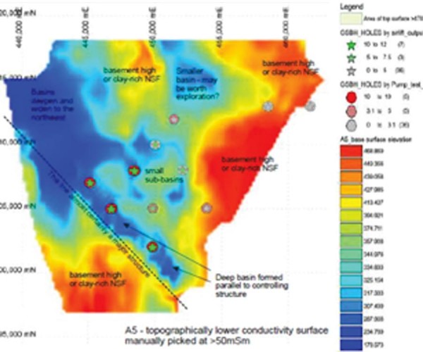
The Application of Airborne Geophysics for Water Exploration
Bill Brown and Flemming Effersø
Airborne electromagnetic methods (AEM) have been widely used for more than 60 years by the oil and mineral industries as a primary exploration method. In the last 30 years, water resource management challenges have prompted the application of AEM methods to basin- or watershed-scale mapping (e.g. Abraham et al., 2012;…
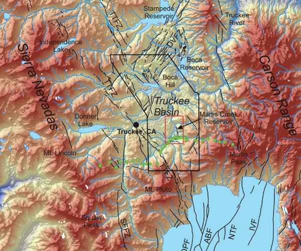
Hydrogeophysical Investigations of Earthen Dams – Two California Case Studies
Bethany L. Burton, Paul A. Bedrosian, Burke J. Minsley, Scott Ikard, Michael H. Powers
Excessive groundwater seepage can be a common engineering concern with earthen dams. The application of geophysical methods, whether for characterization or for long-term monitoring, to help inform mitigation strategies is becoming a more common addition to these investigations. The U.S. Geological Survey (USGS) has completed geophysical investigations at several earthen…
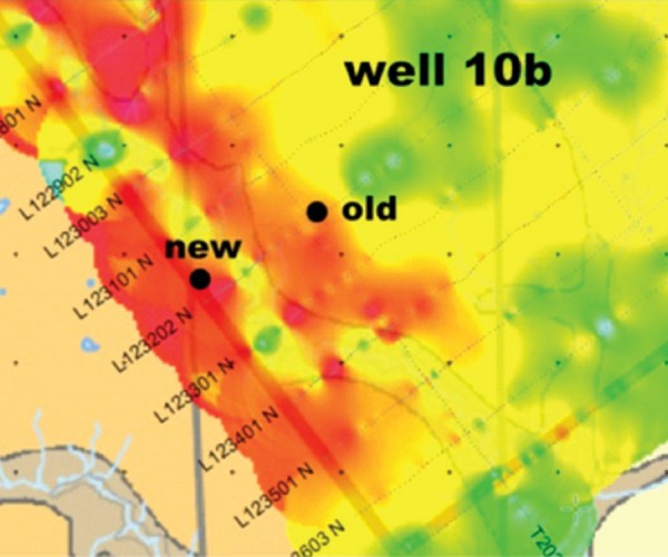
Integrating Airborne Electromagnetic and Gamma Log Data for Regional Aquifer Mapping: Montney Play Area, NE British Columbia
Melvyn Best, Vic Levson, Carlos Salas
The Peace region of NE British Columbia is an important agricultural area. It also contains significant gas reserves in the Montney natural gas play area. Agriculture and gas production require considerable volumes of water. There are also communities and First Nations within the region that require potable water for domestic…

CSEG 2018/2019 Executive Election
CSEG Executive Committee
Summary of candidates for the 2018/2019 CSEG Executive election.
...
In Memoriam of Barry Korchinski
Neil Rutherford and Barry Johnson
Barry’s honest and pleasant manner earned him professional respect and many friends over the years. The Calgary geophysical industry and his friends will truly miss the quiet, always smiling, always supportive man, who created many years of fond memories for those who knew him.
...
The Final Shakeout Phase of the 2014 Energy Bear Market is Now Underway – What Happens from There?
Josef Schachter
Many factors have an impact on the energy market and the market for hydrocarbons in particular. As well as addressing the current factors at the time of the DoodleTrain Luncheon the following items will be addressed and analyzed.
...
Introduction to October Focus: Intro to Seismic Processing
Rob Holt
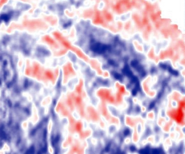
This month we feature four articles on different aspects of seismic processing. As a whole they capture many of the recent advances in the field of seismic processing, which slowly but surely evolves as time goes by.
...
6D Interpolation of Seismic Data – Rationale, Practice and FAQs
Mark Ng and Dan Negut
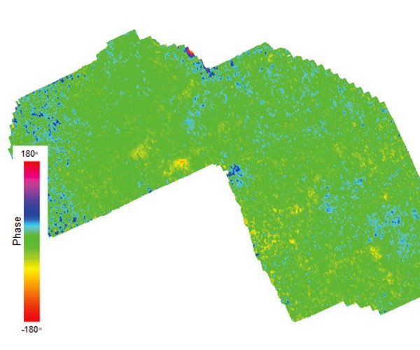
For many reasons, such as acquisition limitations, economic constraints, and merging data of various shooting parameters from different vintages, seismic data needs to be regularized, upsampled, reconstructed and interpolated. Furthermore, a common deliverable of interpolation is regularized prestack data which will improve many state-ofthe- art inversion processes and migration imaging.
...
A Well-Guided Processing Approach
Regan Kennedy, Josh Curtis, Greg Staples and Kristof De Meersman
In any processing flow countless parameter choices are made, including which processes to apply, what order to apply them in, and how to parametrize them. In seismic processing, many different but sound choices can all produce similar images. These similar images may not be geologically equivalent when examining all products…
Geologically Constrained Anisotropic Depth Imaging in the Central Burma Basin, Onshore Myanmar
Rob Vestrum, Christophe Gonguet and Tim MacArthur
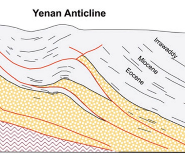
Understanding the local structural styles and sedimentary sequence is key to constraining depth-migration velocity models in structured onshore seismic data. Judicious application of geologic constraints in the model building resulted in compelling imaging improvements on 2D seismic in this structurally complex area.
...
Seismic Reprocessing for Improved Imaging in the Permian Basin
Rob Holt
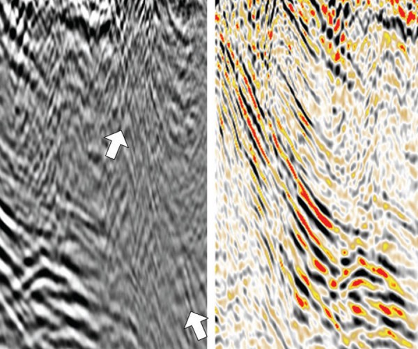
Seismic data enables us to visualize the subsurface in three dimensions with sufficient vertical resolution to identify all but the thinnest of our oil and gas reservoirs. Using seismic data, interpreters map changes in reservoir depth, thickness and character between well locations, and identify the larger faults that create potential…
Sonic Velocities and Depth Conversion
Robert Pickering
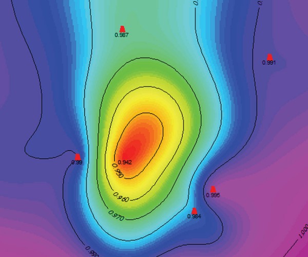
The current method(s) of converting seismic time data to depth are methods created to work-around the lack of access to an adequate volume of velocity data. Access to sonic velocities provides the opportunity to move all variables of the depth equation into the depth domain where mathematically and geologically correct…

CSEG Distinguished Lecture Tour 2016/2017
Laurie Weston Bellman
It dawned on me about two months after accepting this role as the 12th CSEG Distinguished Lecturer that, aside from being an honour to be chosen, it might be a significant commitment. Dr. Don Lawton (2016/2017 CDL Committee Chair and 2013 CSEG Distinguished Lecturer) had sent out 30-plus emails, copying…


