Articles
Geophysics on Fission Uranium’s Patterson Lake South Uranium Deposit
David Bingham
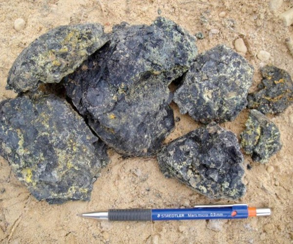
The Triple R deposit on Fission Uranium Corporation’s Patterson Lake South (PLS) property is located in Canada’s Athabasca Basin, home to the world’s richest uranium mines. The deposit is accessible by all-weather Highway 955 which continues north to the UEX-AREVA Shea Creek deposit and former AREVA Cluff Lake uranium mine.…
ORION 3D Deep Resistivity Imaging at the Phoenix Uranium Deposit
Roger Sharpe, Larry Petrie and Jimmy Stephen
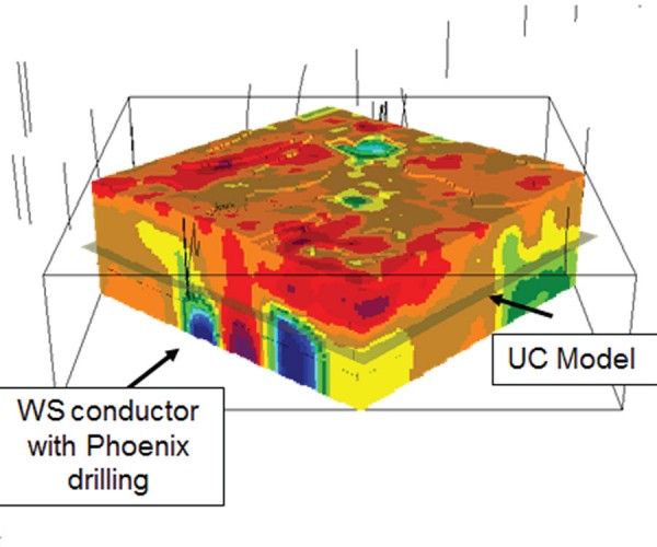
An ORION 3D DC/IP survey was conducted over the Denison Mines Phoenix Uranium Deposit at the Wheeler River Project in Northern Saskatchewan. The survey results provided 3D models that successfully delineated the known deposit at a depth of 400 m and provided an enhanced understanding of the three-dimensional geometry of…
Case Study of Mineral Deposits in the Yukon Using High Resolution Resistivity Induced Polarization Techniques
Melvyn E. Best and Isaac Fage
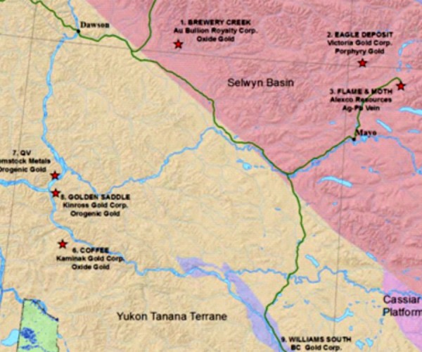
During 2013 and early 2014 a test program was carried out to evaluate a multi-electrode, High Resolution Resistivity/ Induced Polarization (HRRIP) system over 9 mineral deposits within the non-glaciated region of the Yukon. The HRRIP system was chosen over conventional resistivity/IP systems used in the mining industry for the following…

Value of Integrated Geophysics (VIG) Short List Underway
The VIG Committee
The VIG Committee is in the process of putting together an online listing, which we’re calling the VIG Short List, aimed at helping CSEG members teach others about the value of integrating geophysics into their corporate business plans. By “others”, we’re referring to engineers, geologists, upper management, investors, and other…
Marcellus & Utica Shale PSDM Case Study – Improved Structural Imaging and Rock Properties
Morgan Brown, David Waibel, Scott Schapper and Joel Starr
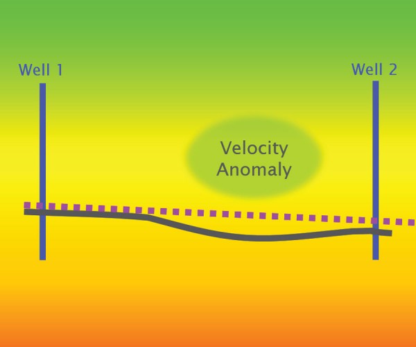
In this abstract, we highlight the performance of PreStack Depth Migration (PSDM) on an ION GeoVentures multi-client survey from northwest Pennsylvania, the GroundhogSCAN 3D.
...
Data Interpretation and Integration from a Seismic Perspective – The Excitement of Innovation
Laurie Weston Bellman
It’s a little cliché to say, but technology is changing so fast that it’s difficult to keep up. Computer storage, processing speeds and visualization capabilities continue to grow exponentially; “integration” (however difficult it is to define) is the dream of most geoscience departments and generic “big data” analysis techniques are…

Introduction To April Focus: Greenhouse Gas & Environmental Geoscience
Omid Aghaei and Ruth Peach
Advances in the environmental sciences continue to be made by Canadians on such topics as CO2 emissions reduction, solar technologies, and water investigations. These topics are the focus of this month’s RECORDER.
...
Using a Walk-away DAS Time-lapse VSP for CO2 Plume Monitoring at the Quest CCS Project
Vicente Oropeza Bacci, Simon O’Brien, Jordan Frank, Mark Anderson
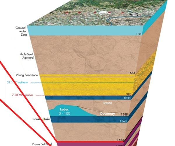
hell Canada operates the Quest project, which is the first commercial scale and fully integrated carbon capture and storage (CCS) project related to the oil sands. The project is part of a joint venture between Shell Canada Energy, Chevron Canada Limited and Marathon Oil Canada Corporation. CO2 injection at Quest began…
Techno-economic Assessment of Solar Technologies in Canadian Housing Stock
Sara Nikoofard
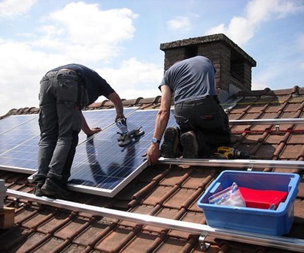
Being one of the least densely populated countries in the world, Canada’s rigorous climate, the energy intensive nature of the country’s industries, and the large distances between population centers result in a relatively high per capita energy consumption. In 2013, for example, Canadians consumed 7.2 tonnes of oil equivalent per…
Scanning Calgary’s ‘Water Towers’: Applications of Hydrogeophysics in Challenging Mountain Terrain
Craig W. Christensen, Masaki Hayashi, Laurence R. Bentley
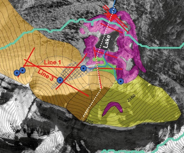
Among hydrologists, mountains are popularly referred to as the “water towers of the world.” Though only covering approximately 25% of the world’s land surface, they account for anywhere between 32% (Meybeck et al. 2001) and 60% (Bandyopadhyay et al. 1997) of water flow in all rivers. Moreover, a disproportionate number…
Surface Geophysical Exploration for Groundwater at the Kakuma Refugee Camp in Turkana County, Kenya
Paul Bauman, Erin Ernst, Landon Woods
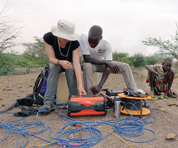
The Kakuma Refugee Camp is located in the semi-arid Turkana County of Northwestern Kenya and was home to 184,966 refugees at the time of our survey. Kakuma is entirely dependent for drinking water on groundwater pumped from 12 wells. Drilling success is variable.
...
GeoConvention 2017
GeoConvention Committee
In the rapidly changing landscape of the oil and gas industry, both regionally and globally, it is more crucial than ever to share ideas about technical innovations and business strategies to help shape our future. GeoConvention 2017 will provide learning, networking, and promotional opportunities for geoscientists and executives from E&P…
Canadian Rockies Earth Science Resource Centre
Rick Green
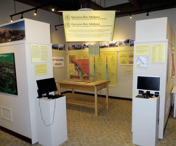
The Canadian Rockies Earth Science Resource Centre (CRESRC) is a new geoscience facility located in Canmore, AB created to give geoscience information about the Canadian Rockies and to do geoscience outreach and programming for students, new industry employees and the general public.
...
Sayer’s Outlook for 2017 Oil & Natural Gas Mergers & Acquisitions Activity
Alan W. Tambosso
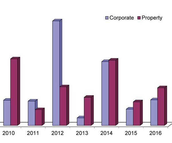
In spite of prolonged low commodity prices, 2016 turned out to be an average year for mergers and acquisitions activity (“M&A”) in the Canadian oil patch. While the nature of transactions may change somewhat, with the worst of the price onslaught apparently behind us, 2017 could end up being a…
APEGA Legislative Review: Summary of Consultations
Neda Boroumand, Rachel Newrick and Ken Mitchell
The APEGA Legislative review was an initiative that began in 2015 and was prompted by the Government of Alberta (GOA) in 2014. The objective of the review was to update the Engineering and Geoscience Professions Act (EGP Act) and General Regulation to reflect today’s industry practice and ensure that the…
Introduction To March Focus: Back to Basics
Nicole Willson
The idea for this FOCUS came from a member who replied to one of the CSEG’s member surveys concerning the RECORDER. So, thanks to that member who let us know, and who gave us the great title “Back to Basics.” Many other members also asked for technical content that was…
Datums, Projections and Coordinate Systems
Adam Thomas
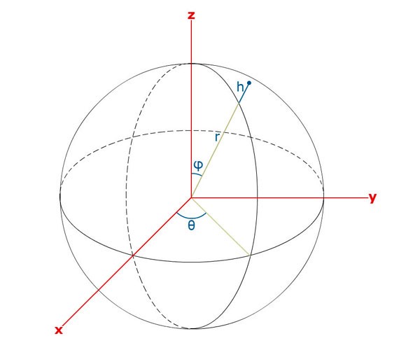
Accurately describing locations on Earth is essential to exploration geophysics. The interpretation of fault zones, the surface and bottom locations of a well, and the position and orientation of seismic ground control points and receivers are all dependent on being able to accurately describe where they are. Unfortunately the latitude…
Discovering A Supermodel – A Rock-Physics Tutorial
Carl Reine
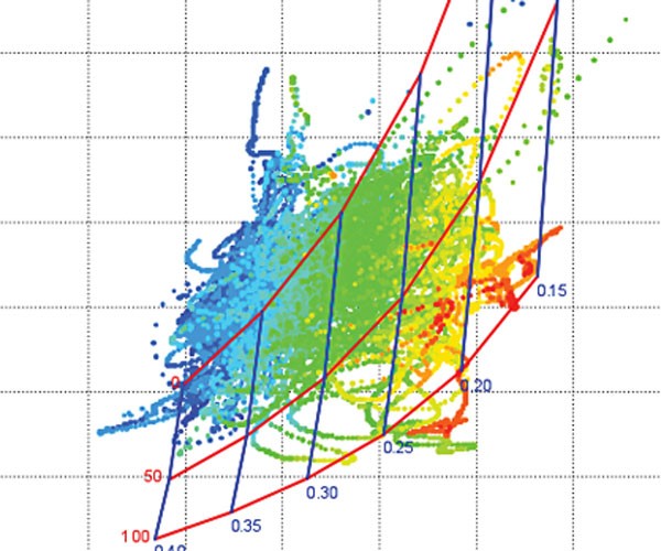
Quantitative interpretation (QI) involves making predictions of rock and fluid properties from seismic amplitudes. Within the QI workflow, a number of components can greatly benefit from rock physics, which itself is an incredibly diverse field. Rock physics covers the measurement of rock properties in the lab, the empirical and theoretical…
Knowledge True and False: Scientific Logic and Climate Change
Henry Lyatsky
This scientific “truth” was drilled into me, a young geology undergrad in Calgary, by esteemed professors in basic courses at the beginning of the 1980s. In the 1970s the media were abuzz with global-cooling scares. Cooling was supposedly a scientific fact. Thankfully, the old fears of an impending new ice…


