The Pacific Geoscience Centre (PGC), located in Sidney, B.C., is a division of the Geological Survey of Canada. The GSC and the Earth Physics Branch merged in 1985, creating the present Centre with its strong emphasis on geophysics. The Pacific Geoscience Centre shares facilities with the Department of Fisheries and Oceans at the Institute of Ocean Sciences.
PGC’s research effort is focussed on 4 areas or themes: (1) margin tectonics (2) earthquake studies (3) coastal and near shore studies and (4) Cordilleran geophysical studies. Each of these overlaps with the others.
Margin tectonics main programs are: subduction tectonics along the west coast of Vancouver Island, strike slip tectonics in the Queen Charlottes and ridge processes. Each program is multidisciplinary. For example, megathrust earthquake studies, associated with subduction tectonics, use earthquake data, seismic refraction and reflection data (offshore and onshore, including Lithoprobe), electromagnetic data, heat flow data, surficial geological data and structural geological data. The data are integrated and compared with geodynamic and other models.
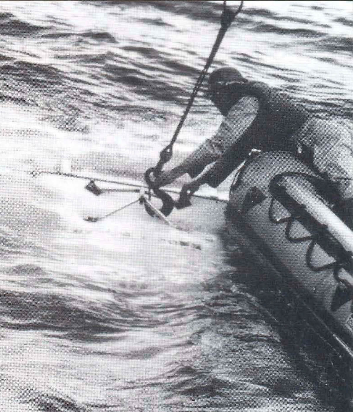
The coastal and near shore program, which focusses on environmental problems in the offshore, is expanding because of concerns over the environment. The offshore Fraser Delta project uses high resolution seismic data, side scan data, borehole data, and geotechnical data to map sediments and characterize their geotechnical properties. The results of this work could have a major impact on future development of the offshore Fraser Delta because of increased demands for its use.
The earthquake studies program is an integral part of the GSC’s national program on earthquakes and seismicity. Installation of new broadband digital seismometers with satellite data transmission is nearly complete and will replace the analogue network presently in use. On the west coast, this program is high profile because of the significant potential for earthquakes. Additional stations have been installed to provide the detailed information required in this seismically active region. The data from the network is used to monitor and locate earthquake events in Canada and, in particular, Western Canada.
The Pacific Geoscience Centre has increased its geophysical work in the Cordillera. We will be involved with the Slave-northern Cordillera Lithospheric Evolutionary (SNORCLE) Transect of Lithoprobe if approved. PGC, along with others, will collect, process and interpret potential field data, heat flow data, paleomagnetic data, seismic refraction data and seismicity data. These data will be integrated with other Lithoprobe data and compared with various lithospheric models.
The presentation will illustrate the breadth of PGC’s research using several examples discussed above.


Join the Conversation
Interested in starting, or contributing to a conversation about an article or issue of the RECORDER? Join our CSEG LinkedIn Group.
Share This Article