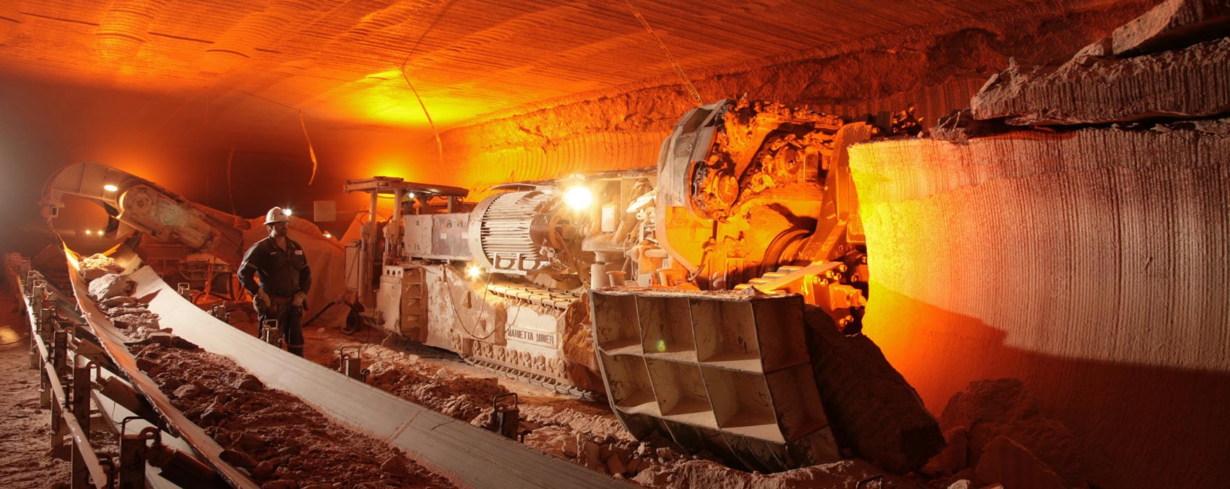
Potash, a mineral used primarily in fertilizers, has been mined in the province of Saskatchewan, Canada for some fifty years. The Prairie Evaporite Formation in Saskatchewan is host to the world’s largest potash deposits. Within the Saskatoon area, the upper stratigraphy of the Prairie Evaporite consists of a series of tabular salt and potash beds separated by well-known and regionally distributed planar clay seams. Continuous Boring Machines (borers) are used to mechanically cut the potash ore out of the seams.
When geological disturbances or anomalies are encountered during mining, mining crews exercise extra vigilance because the integrity of the roof can become compromised introducing the potential for exposure to falling rock. These incidents are known as unplanned falls-of-ground. Mining crews are well-trained in the mining procedures and how to identify hazardous conditions, but occasionally subtle geological anomalies can be difficult to identify. Such scenarios are concerning because a combination of subtle geological anomalies can create conditions for falls-of-ground that occur with little to no warning. There is no silver-bullet solution to prevent unplanned falls-of-ground. Typically, such events occur due to a combination of seemingly remote factors aligning – the classic “Swiss Cheese Model”.
In this presentation, I give a brief introduction to potash mining (with a geophysical emphasis!) and then present a more detailed history of the development of a standardized suite of mining practices used at three Saskatoon area mine sites. Admittedly, a discussion on the development of standards is not exciting, however it’s the involvement of geoscientists that make this story interesting. They played a major role in the standards development because it was recognized that the crews needed to have a working knowledge of the geology at their jobsites. Education of the crews was vital in this effort and the standards were used as a foundation for the updated training materials. To help the crews better understand the geology above them, in the mined-out rooms, geophysicists worked with engineers to develop a borer mounted ground penetrating radar (GPR) package. Its purpose is to provide real-time imaging of the roof stratigraphy in order identify any conditions which might lead to instability of the mine roof. This multidisciplinary project is the first known successful implementation of real-time, continuous upward looking GPR on boring machines and it offers the potential of increasing mining safety.


Join the Conversation
Interested in starting, or contributing to a conversation about an article or issue of the RECORDER? Join our CSEG LinkedIn Group.
Share This Article